How TIN Surfaces Work in SPCAD v26.0
Major Upgrade SPCAD v26.0: A Major Upgrade to How TIN Surfaces Work (And Why You’ll Love It) If…

Major Upgrade SPCAD v26.0: A Major Upgrade to How TIN Surfaces Work (And Why You’ll Love It) If…
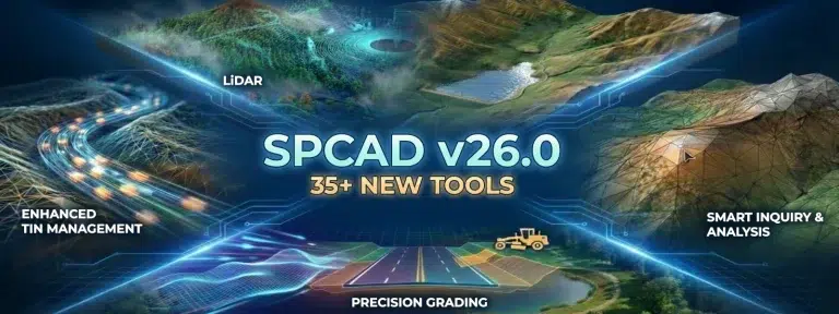
NEW RELEASE What is New in SPCAD v26.0? Built from the Ground Up for You. At Cadomation, we…
Significance of Coordinate Systems in SPCAD Coordinate Systems in SPCAD form the backbone of accurate spatial data management….
SPCAD Surface Analysis for CAD Users SPCAD simplifies the surface analysis process for CAD users, aiding in understanding…
QR Code Integration in CAD: Real-World Navigation with SPCAD In SPCAD, we’ve introduced a powerful feature that allows…