Export AutoCAD Drawing Objects to a Shapefile
ESRI Shapefile holds significant importance within the realm of geospatial data formats, serving as a cornerstone for various applications. For CAD users, the necessity to convert from DWG format to Shapefile often arises, a task efficiently handled by SPCAD through its robust toolset. Within the domain of Shapefiles, the versatility is notable: accommodating point, line, or polygon features, each with its unique representation. SPCAD further empowers users by granting the flexibility to tailor the output Shapefile according to their specific preferences and requirements.
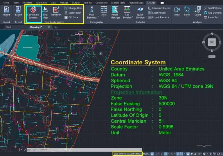
Prior to embarking on the export process, it is imperative to meticulously assign a projected coordinate system to the file. This foundational step ensures seamless compatibility and accuracy when the exported data interacts with other systems or applications. Consequently, the exported Shapefile comes equipped with an associated .prj file, serving as a beacon of coherence within diverse environmental settings, while upholding the integrity of its projected coordinate system.
During the export phase, users wield the capability to enrich the attribute data of the exported shapefile by incorporating area and length information, thereby fostering a deeper understanding and analysis of the spatial data. Moreover, the option to include elevation information further augments the depth and richness of the exported dataset. These augmented features not only enhance the utility and versatility of the exported data but also unlock a plethora of possibilities for insightful analysis and visualization endeavors.
In essence, the amalgamation of SPCAD’s robust functionalities with the inherent flexibility and adaptability of the Shapefile format empowers users to seamlessly navigate the complexities of geospatial data conversion and manipulation, ultimately facilitating informed decision-making and unlocking new avenues for exploration and discovery.


