Assign a Projected Coordinate System to the AutoCAD Drawing
For some spatial analysis involving data management, data interoperability, and precise calculations, CAD users sometimes need to perform these tasks with overlay geometric features representing ground elements derived from different data sources or surveys. In such cases, assigning a coordinate system to the drawing becomes crucial.
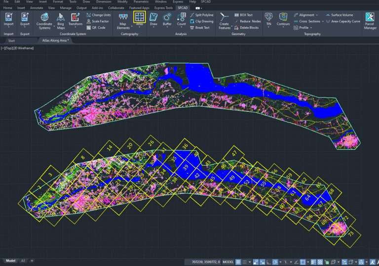
In SPCAD numerous tools require assigning a related coordinate system to the drawing before use.
Some of these tools include:
- Transform drawings from one coordinate system to another.
- Placement of a QR code on the drawing.
- Export a drawing into KML or GPX files.
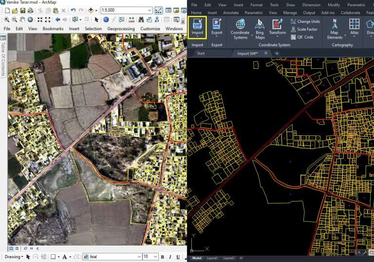
- Import features from KML or GPX files into a drawing.
- Import the correct tiles of satellite images from the Bing server.
- Implement the call-out tags.
- Plotting drawing grids during map-making.
- Compute parcel areas and export them to SHP, and KML formats.
Please watch this video to assign a coordinate system to a drawing:


