Generate a QR Code for Point Locations
QR codes have emerged as a modern and secure method for sharing important information. Their integration with maps offers innovative navigation solutions, especially for CAD users operating in challenging terrains or remote areas. Incorporating location-based QR codes into maps seamlessly connects CAD users to digital tools, enhancing accessibility and functionality.
SPCAD Integration
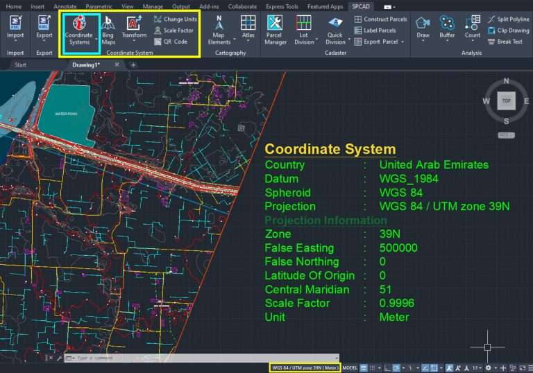
SPCAD now allows inserting QR codes directly into CAD drawings, improving the user experience. However, it’s essential to ensure the drawing has a properly assigned coordinate system before inserting a QR code. The Coordinate System Panel in SPCAD provides easy access to coordinate system settings.
Creating and Scanning QR Codes
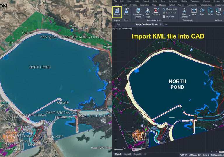
Once the coordinate system is assigned, users can create and scan QR codes associated with specific point locations in their drawings. These QR codes generate links that, when scanned, allow users to view corresponding locations on navigation applications like Google Earth or Google Maps. This functionality enhances spatial understanding and facilitates navigation in digital and physical environments.
Strategic Placement
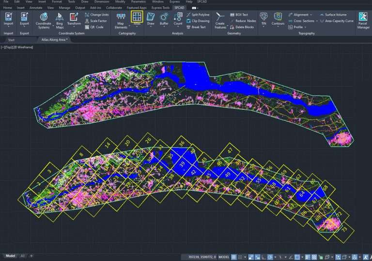
CAD users can strategically place QR codes on maps and atlases to quickly reference and verify the spatial accuracy of their AutoCAD drawings. Integrating QR codes with CAD drawings streamlines workflow processes and enhances spatial analysis and data interpretation.
Summary
Incorporating QR codes into CAD drawings through SPCAD offers benefits such as improved accessibility, enhanced functionality, and streamlined navigation. Leveraging location-based QR codes, CAD users seamlessly connect digital and physical environments, optimizing workflow and ensuring spatial accuracy in design projects.


