Import ESRI Shapefiles to the CAD Drawing

Effortless ESRI Shapefile Import into CAD with SPCAD
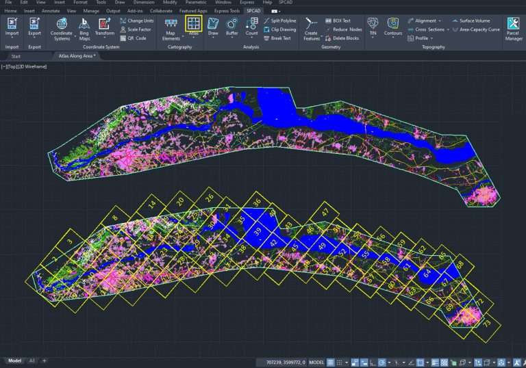
SPCAD’s import tool simplifies the process of integrating ESRI shapefiles into CAD drawings. This powerful tool allows you to seamlessly bring geospatial data into your CAD environment, enhancing your designs with accurate and essential spatial information.
Flexible Data Handling for CAD Professionals
With SPCAD, you can manage shapefile data efficiently:
- Import points as block references with selectable symbols.
- Convert line features into 2D or 3D polyline objects.
- Import polygons with or without centroids.
- Apply customized hatch objects for enhanced visualization.
- Add shapefile attributes as labels for better clarity and organization.
These options give engineers, surveyors, and CAD professionals full control over how spatial data is represented in their drawings.
Coordinate System Alignment
If the coordinate system of your shapefile differs from the drawing’s coordinate system, SPCAD provides an option to apply a transformation. This feature ensures that your shapefile aligns perfectly with the drawing’s coordinate system, facilitating accurate data integration.
Streamlined Workflow
By using SPCAD’s import tool, you streamline the process of incorporating ESRI shapefiles into your AutoCAD drawings. This tool enhances your workflow by making data integration straightforward and efficient.
Conclusion
In summary, SPCAD offers a robust solution for importing ESRI shapefiles into AutoCAD. With its flexible data handling, coordinate system alignment, and intuitive interface, SPCAD ensures that integrating shapefile data is both easy and accurate. Experience the convenience and efficiency of SPCAD’s import tool and elevate your CAD projects today.