Merge Polygons of Same Elevation

How to Merge Polygons in CAD for Accurate Design Results
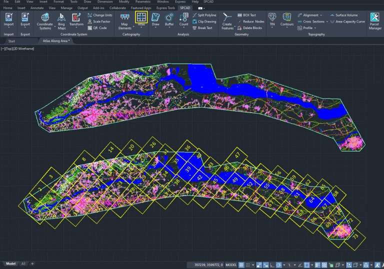
The SPCAD Polygon Merging tool makes it easy to merge polygons of the same elevation in CAD. It combines overlapping or adjacent shapes into one clean geometry, helping you optimize your design workflow and maintain precision in mapping, engineering, and layout projects.
Why Use SPCAD Polygon Merging?
Merging polygons manually can be time-consuming and prone to errors. With SPCAD Polygon Merging, you can automatically unify multiple shapes with just a few clicks. This tool simplifies drawing cleanup, improves visual consistency, and reduces the risk of data duplication in large CAD projects.
Whether you’re working on land parcels, contour maps, or topographic layouts, SPCAD’s merging functionality helps keep your geometry organized and ready for analysis or export.
Refine and Customize Your Results
SPCAD provides several options to enhance your merged polygons:
- Refine Geometry: Adjust vertices and remove redundant points for cleaner, more professional outputs.
- Delete Source Objects: Automatically remove original polygons to declutter your workspace.
- Preserve Attributes: Retain key metadata from merged shapes for accurate project documentation.